The whole rail network
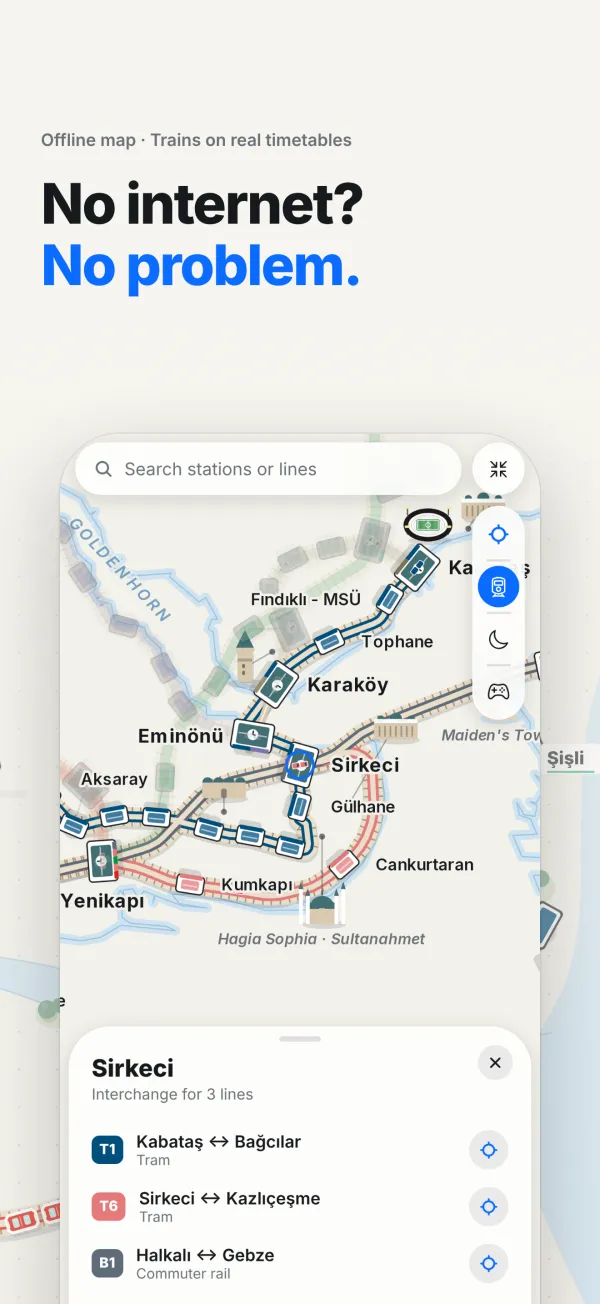
Metro, tram, Marmaray, funiculars and cable cars: every rail line in Istanbul on a single map. Tap a station to see the lines that stop there and the connections you can make on foot.
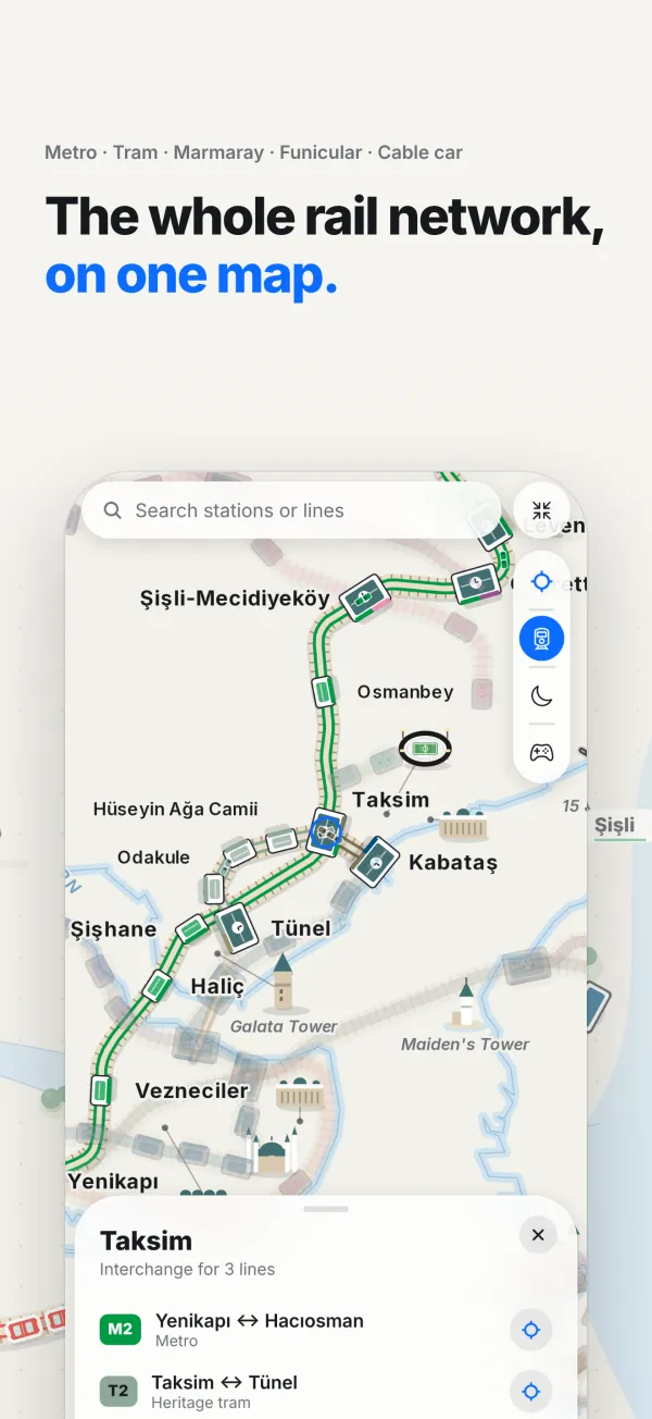
Metro · Tram · Marmaray · Funicular · Cable car
See where lines meet, make your connections, and discover how far you can travel from where you are, minute by minute.
Open the web map → · Play the game
THE CITY, CONNECTED
Metro, tram, Marmaray, funiculars and cable cars: every rail line in Istanbul on a single map. Tap a station to see the lines that stop there and the connections you can make on foot.
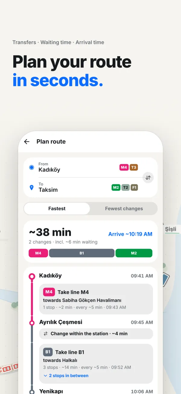
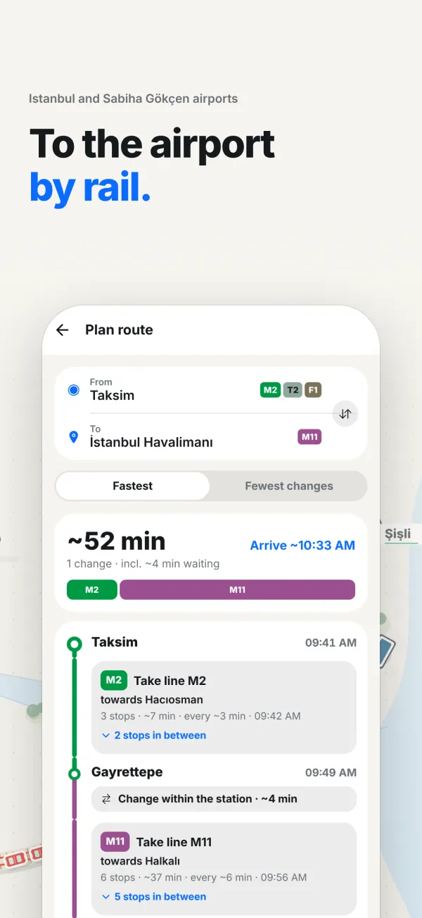
Pick where from and where to. Routes are built on IBB timetable data: transfers, waiting time and your arrival time on one screen. Choose the fastest trip or the one with the fewest changes, and it knows which lines close at night.
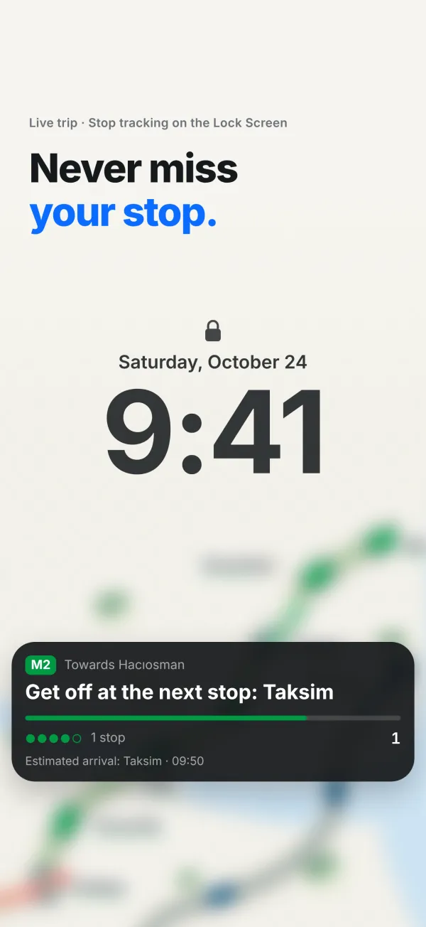
Start a live trip and put your phone away. Your remaining stops stay on the Lock Screen (and in the Dynamic Island on iPhone), and you get a heads-up when it is time to get off.
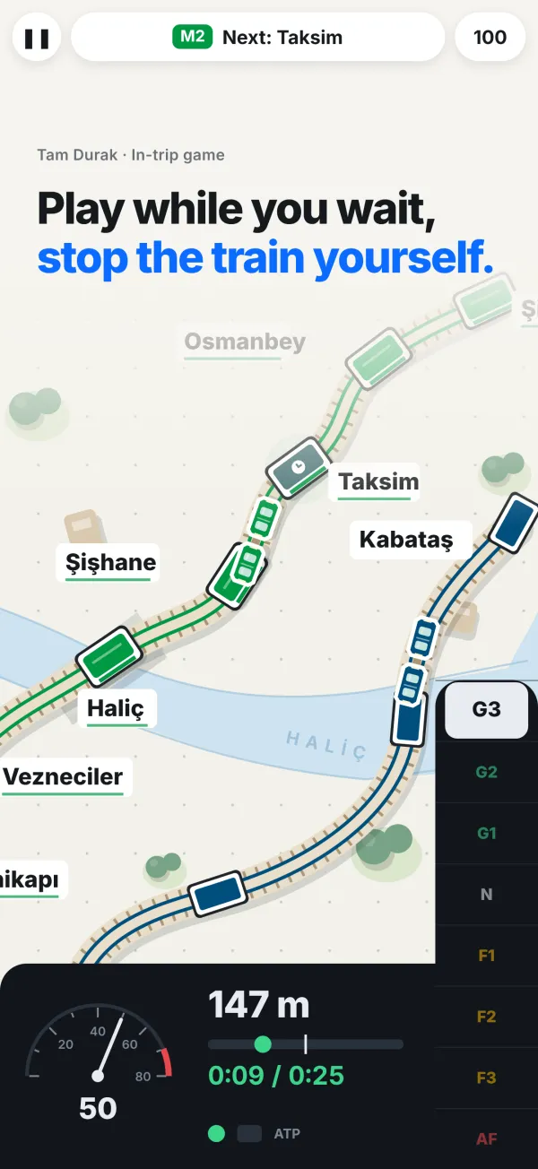
Take the driver’s seat on real lines: accelerate, brake and stop right at the platform mark. Race the real timetable, score points for every clean stop and work your way from easy lines to hard ones. It also plays in your browser.
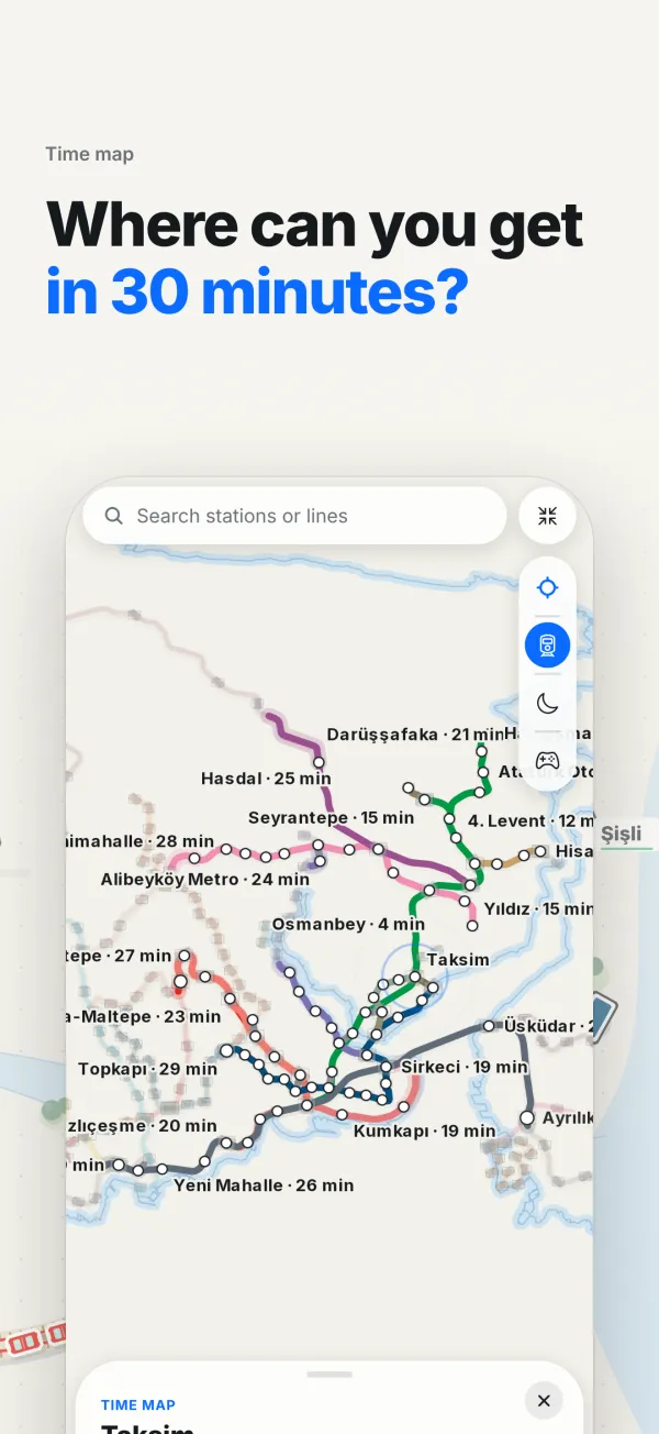
Pick a station or use your location and watch the network light up, minute by minute. See at a glance how far you can travel from where you are.
Istanbul Airport on the M11, Sabiha Gökçen on the M4. Know which transfers to make and how long it takes before you set off with your luggage.
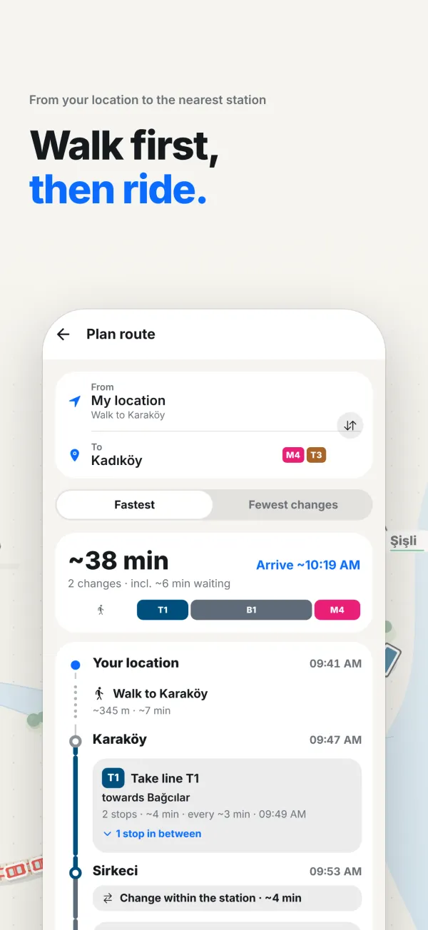
Your route starts at your front door: the walk from your location to the nearest station, with its distance and time, is part of the plan. Then every leg follows step by step until you get off.
The map, the stations and the timetables live inside the app. Plan a route even with no signal underground, and watch trains move on the map according to their timetables.
The web map is great for a quick look. The app is built for every day: faster, works offline and rides along with you.
Coming soon: App Store · Google Play
Just want a quick look? Open the web map, no install →
Türkçe · English · العربية · Deutsch · Русский: ready for visitors, too.
